Thank you for stopping by!

Ameri-Drone.com

Visit our More Info page for a better understanding about LiDAR and the use of drones.


(NEW) SLAM Lidar with color Images & GPS!

Inside or Outside Mapping
Our ROCK SLAM unit features a 360° camera, GPS to deliver unparalleled accuracy and efficiency in SLAM data capture. Integrated with the 360° ROCK R3 Pro LiDAR, this device enables Colorized ROCK SLAM, allowing for the generation of vibrant and detailed colorized point clouds.

See an example of SLAM LiDAR: Click Here

drone flying in sky

Welcome to our website

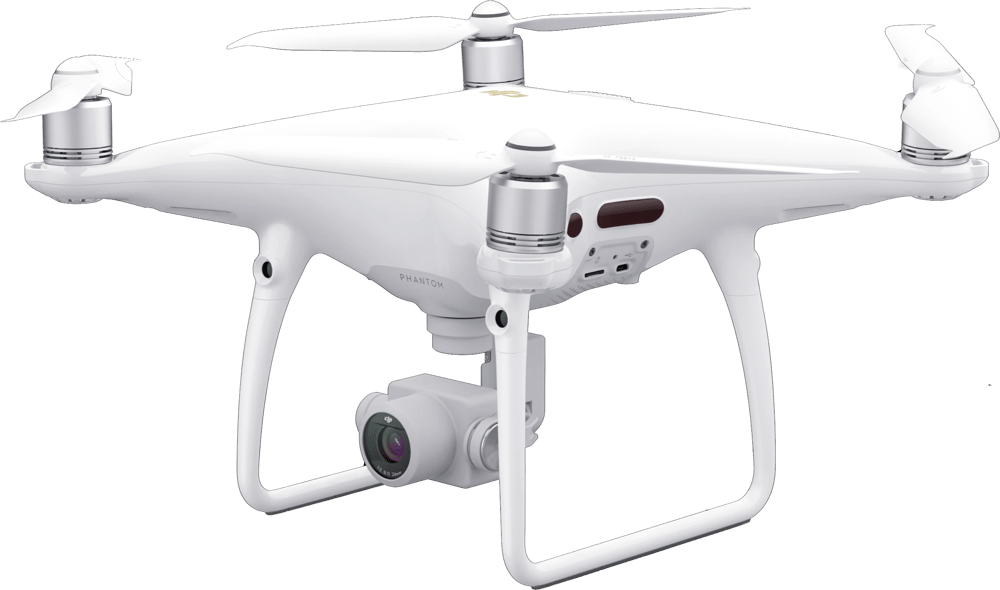
Ameri-Drone can handle all aerial & ground photo, video and LiDAR aerial needs. 

Above is our new M350 mounted with the Rock R3  Pro LiDAR and to the left is our Phantom 4 Pro drone, used to take photos and video.

Subscribe

Sign up to our newsletter and stay up to date

Subscribed!

Thank you for subscribing to our newsletter.

Address


Springfield, MO 65803, US

About us

Monte Dudgeon (Owner/Chief Pilot)
An FAA (Part 107) sUAS Commercial Pilot since 2016, Monte has operated drones from Florida to Idaho, South Dakota to Texas and in between. He has performed 3D mapping of Cell Towers, crop fields, construction sites and now can produce a variety of file formats such as
- Ground Classified laz file (the point cloud)
- SHP file containing geometry data
- DFX contains information about 2D and 3D designs, including geometry, dimensions, and other attributes.
- DBF attribute format file
- SHX shape index file
- DEM in TIF format
- Accuracy Report
First established in 2016 in Texas, Ameri-Drone, LLC currently operates out of Springfield, Missouri.

Follow us